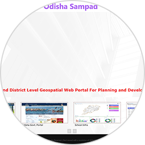
Odisha Geospatial Portal


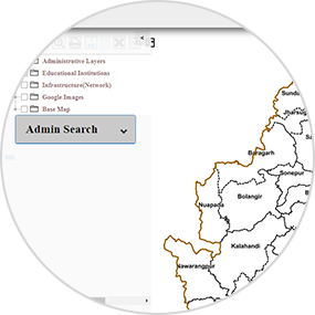
The Centre created the Cadastral map database and Land Use Database of entire state at 1:4000 scale after georeferencing all the Revenue Cadastral maps of the State using Orthoimages under 'Geospatial Technology for Rural and Urban Development project', funded by Dept. of Science and Technology during 2015-2018. During 2019-20, the centre decided to put all these Datasets under a Web-GIS based Web-Portal as "Odisha 4K GEO Services" for data visualization, Data dissemination, Data access and for providing inputs for development planning activities by State Departments. Odisha 4K GEO services are designed to be used as State Asset Data Portal & for Programme Scheme Monitoring System for Odisha State at 1:4000 scale. All the infrastructures / utilities / amenities created under Government schemes are to be incorporated to the portal via dedicated server and Mobile-App based architecture.